
Lac-Jérôme topographic map
Interactive map
Click on the map to display elevation.
About this map
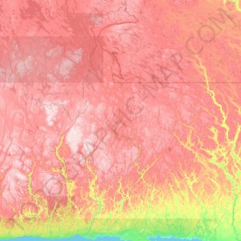
Name: Lac-Jérôme topographic map, elevation, terrain.
Location: Lac-Jérôme, Minganie, Côte-Nord, Quebec, Canada (50.24091 -65.50076 52.87753 -61.53081)
Average elevation: 470 m
Minimum elevation: -1 m
Maximum elevation: 1,006 m