
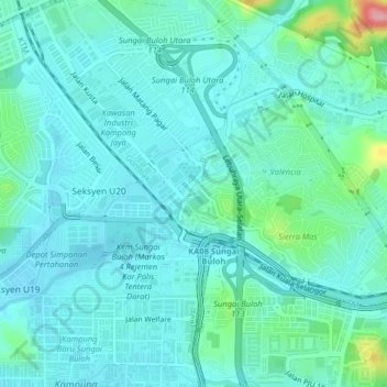
Kampung Sri Bunga topographic map
Interactive map
Click on the map to display elevation.
About this map
Name: Kampung Sri Bunga topographic map, elevation, terrain.
Location: Kampung Sri Bunga, Selayang Municipal Council, 47830, Malaysia (3.19103 101.55793 3.23103 101.59793)
Average elevation: 51 m
Minimum elevation: 27 m
Maximum elevation: 170 m