
La Gaulette topographic map
Interactive map
Click on the map to display elevation.
About this map
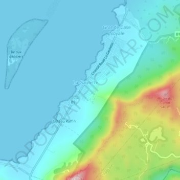
Name: La Gaulette topographic map, elevation, terrain.
Location: La Gaulette, Black River, Mauritius (-20.44922 57.34104 -20.40922 57.38104)
Average elevation: 94 m
Minimum elevation: 0 m
Maximum elevation: 526 m