
Dalemarka topographic map
Interactive map
Click on the map to display elevation.
About this map
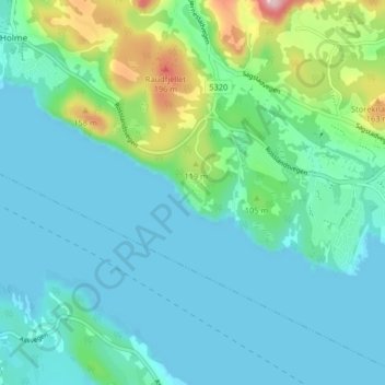
Name: Dalemarka topographic map, elevation, terrain.
Location: Dalemarka, Alver, Vestland, 5918, Norway (60.49398 5.17486 60.53398 5.21486)
Average elevation: 42 m
Minimum elevation: -4 m
Maximum elevation: 221 m