
Rusthall topographic map
Interactive map
Click on the map to display elevation.
About this map
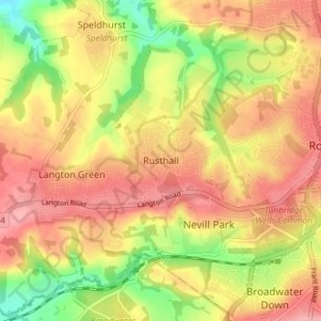
Name: Rusthall topographic map, elevation, terrain.
Location: Rusthall, Kent, South East, England, TN4 8UL, United Kingdom (51.11615 0.20943 51.15615 0.24943)
Average elevation: 97 m
Minimum elevation: 35 m
Maximum elevation: 140 m
England trails, hiking, mountain biking, running and outdoor activities