
Slane topographic map
Interactive map
Click on the map to display elevation.
About this map
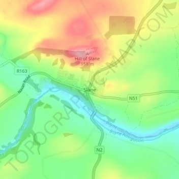
Name: Slane topographic map, elevation, terrain.
Location: Slane, County Meath, Leinster, C15 XW28, Ireland (53.68907 -6.56262 53.72907 -6.52262)
Average elevation: 68 m
Minimum elevation: 9 m
Maximum elevation: 158 m