
Fort Polk topographic map
Interactive map
Click on the map to display elevation.
About this map
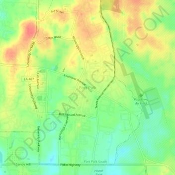
Name: Fort Polk topographic map, elevation, terrain.
Average elevation: 96 m
Minimum elevation: 70 m
Maximum elevation: 122 m
Other topographic maps
Click on a map to view its topography, its elevation and its terrain.
Fort Johnson South
United States > Louisiana > Vernon Parish > Fort Johnson South > Fort Polk
Average elevation: 95 m