
Monte Redondo topographic map
Interactive map
Click on the map to display elevation.
About this map
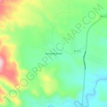
Name: Monte Redondo topographic map, elevation, terrain.
Location: Monte Redondo, Francisco Morazán, Honduras (14.26487 -87.27557 14.30487 -87.23557)
Average elevation: 893 m
Minimum elevation: 791 m
Maximum elevation: 1,086 m