
The Crescent topographic map
Interactive map
Click on the map to display elevation.
About this map
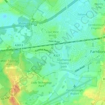
Name: The Crescent topographic map, elevation, terrain.
Average elevation: 70 m
Minimum elevation: 59 m
Maximum elevation: 94 m
Other topographic maps
Click on a map to view its topography, its elevation and its terrain.
Normandy Barracks
United Kingdom > England > Hampshire > Rushmoor > Farnborough
Normandy Barracks, North Camp, Farnborough, Rushmoor, Hampshire, South East England, England, GU11 2LZ, United Kingdom
Average elevation: 76 m