
Stevens Point topographic map
Interactive map
Click on the map to display elevation.
About this map
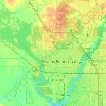
Name: Stevens Point topographic map, elevation, terrain.
Location: Stevens Point, Portage County, Wisconsin, United States (44.49296 -89.60731 44.56752 -89.47731)
Average elevation: 335 m
Minimum elevation: 318 m
Maximum elevation: 353 m
Other topographic maps
Click on a map to view its topography, its elevation and its terrain.