
Antana topographic map
Interactive map
Click on the map to display elevation.
About this map
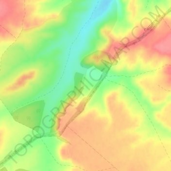
Name: Antana topographic map, elevation, terrain.
Location: Antana, Castronuño, Valladolid, Castile and León, 47520, Spain (41.33310 -5.27029 41.35310 -5.25029)
Average elevation: 748 m
Minimum elevation: 706 m
Maximum elevation: 780 m