
Latteragh topographic map
Interactive map
Click on the map to display elevation.
About this map
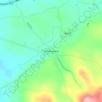
Name: Latteragh topographic map, elevation, terrain.
Location: Latteragh, Toomevara, County Tipperary, Munster, Ireland (52.83012 -8.05589 52.87012 -8.01589)
Average elevation: 141 m
Minimum elevation: 91 m
Maximum elevation: 276 m