
Four Paths topographic map
Interactive map
Click on the map to display elevation.
About this map
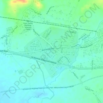
Name: Four Paths topographic map, elevation, terrain.
Location: Four Paths, Clarendon, Middlesex County, Jamaika (17.96223 -77.30076 17.97540 -77.28582)
Average elevation: 50 m
Minimum elevation: 39 m
Maximum elevation: 78 m