
وادي الفرع topographic map
Interactive map
Click on the map to display elevation.
About this map
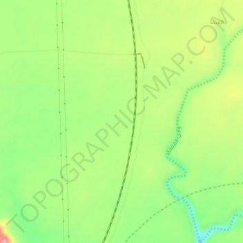
Name: وادي الفرع topographic map, elevation, terrain.
Location: وادي الفرع, Al Madinah Region, Saudi Arabia (23.29164 39.75576 23.33164 39.79576)
Average elevation: 800 m
Minimum elevation: 742 m
Maximum elevation: 871 m