
Vila Chã topographic map
Interactive map
Click on the map to display elevation.
About this map
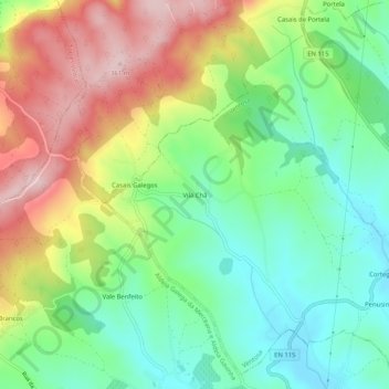
Name: Vila Chã topographic map, elevation, terrain.
Location: Vila Chã, Ventosa, Alenquer, Lisbon, West, Centro, Portugal (39.10074 -9.14148 39.14074 -9.10148)
Average elevation: 202 m
Minimum elevation: 96 m
Maximum elevation: 360 m