
Hattarvågen topographic map
Interactive map
Click on the map to display elevation.
About this map
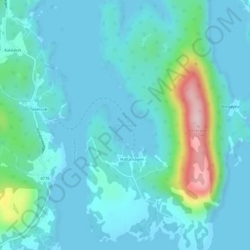
Name: Hattarvågen topographic map, elevation, terrain.
Location: Hattarvågen, Hervik, Tysvær, Rogaland, 5566, Norway (59.34190 5.61836 59.36190 5.63836)
Average elevation: 42 m
Minimum elevation: -1 m
Maximum elevation: 273 m