
Amma topographic map
Interactive map
Click on the map to display elevation.
About this map
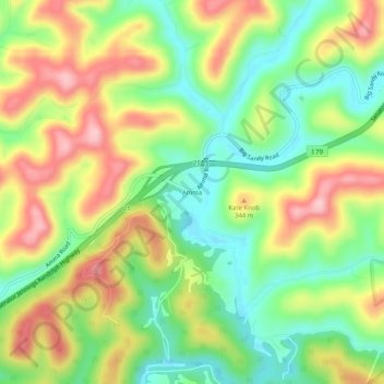
Name: Amma topographic map, elevation, terrain.
Location: Amma, Roane County, West Virginia, 25005, United States (38.54871 -81.28567 38.58871 -81.24567)
Average elevation: 280 m
Minimum elevation: 197 m
Maximum elevation: 384 m