
Central Business District topographic map
Interactive map
Click on the map to display elevation.
About this map
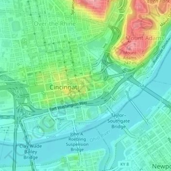
Name: Central Business District topographic map, elevation, terrain.
Average elevation: 166 m
Minimum elevation: 136 m
Maximum elevation: 247 m
Other topographic maps
Click on a map to view its topography, its elevation and its terrain.
Sawyer Point Park
United States of America > Ohio > Cincinnati
Sawyer Point Park, Lytle Park Historic District, Cincinnati, Hamilton County, Ohio, United States of America
Average elevation: 166 m