
Joppa topographic map
Interactive map
Click on the map to display elevation.
About this map
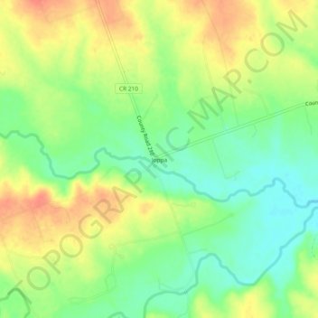
Name: Joppa topographic map, elevation, terrain.
Location: Joppa, Burnet County, Texas, United States of America (30.80546 -98.05169 30.84546 -98.01169)
Average elevation: 342 m
Minimum elevation: 317 m
Maximum elevation: 368 m