
Agglestone Rock topographic map
Interactive map
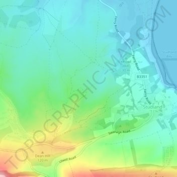
Click on the map to display elevation.
About this map
Name: Agglestone Rock topographic map, elevation, terrain.
Average elevation: 46 m
Minimum elevation: 0 m
Maximum elevation: 178 m
Other topographic maps
Click on a map to view its topography, its elevation and its terrain.
Studland
United Kingdom > England > Studland
Studland, Dorset, South West England, England, BH19 3BT, United Kingdom
Average elevation: 31 m