
Weilerbach topographic map
Interactive map
Click on the map to display elevation.
About this map
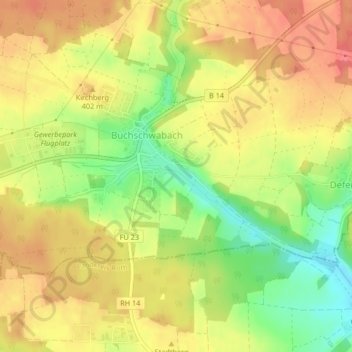
Name: Weilerbach topographic map, elevation, terrain.
Location: Weilerbach, Roßtal, Fürth (district), Bavaria, 90574, Germany (49.36146 10.88646 49.36263 10.89018)
Average elevation: 392 m
Minimum elevation: 354 m
Maximum elevation: 418 m