
Langevåg topographic map
Interactive map
Click on the map to display elevation.
About this map
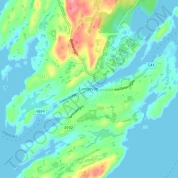
Name: Langevåg topographic map, elevation, terrain.
Location: Langevåg, Bømlo, Vestland, 5443, Norway (59.58202 5.18854 59.62202 5.22854)
Average elevation: 22 m
Minimum elevation: -1 m
Maximum elevation: 99 m