
Alma topographic map
Interactive map
Click on the map to display elevation.
About this map
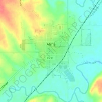
Name: Alma topographic map, elevation, terrain.
Location: Alma, Wabaunsee County, Kansas, United States of America (39.00768 -96.29791 39.02208 -96.27571)
Average elevation: 334 m
Minimum elevation: 310 m
Maximum elevation: 376 m