
Lena topographic map
Interactive map
Click on the map to display elevation.
About this map
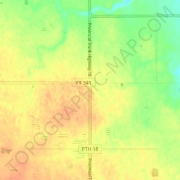
Name: Lena topographic map, elevation, terrain.
Location: Lena, Manitoba, Canada (49.05150 -99.68080 49.09150 -99.64080)
Average elevation: 546 m
Minimum elevation: 525 m
Maximum elevation: 558 m