
Cabot topographic map
Interactive map
Click on the map to display elevation.
About this map
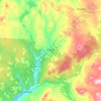
Name: Cabot topographic map, elevation, terrain.
Location: Cabot, Washington County, Vermont, United States of America (44.34037 -72.37990 44.46317 -72.21718)
Average elevation: 458 m
Minimum elevation: 236 m
Maximum elevation: 759 m