
Isel topographic map
Interactive map
Click on the map to display elevation.
About this map
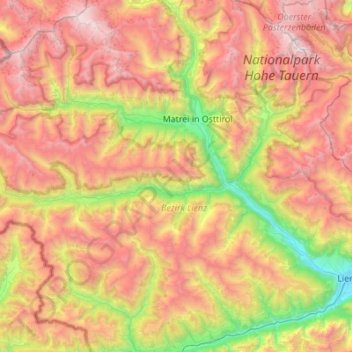
Name: Isel topographic map, elevation, terrain.
Location: Isel, Bezirk Lienz, Austria (46.82870 12.22724 47.04889 12.77643)
Average elevation: 2,092 m
Minimum elevation: 674 m
Maximum elevation: 3,684 m
Other topographic maps
Click on a map to view its topography, its elevation and its terrain.