
Ruthven topographic map
Interactive map
Click on the map to display elevation.
About this map
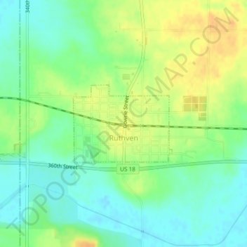
Name: Ruthven topographic map, elevation, terrain.
Location: Ruthven, Palo Alto County, Iowa, United States (43.12645 -94.90671 43.13494 -94.89190)
Average elevation: 431 m
Minimum elevation: 416 m
Maximum elevation: 449 m