
Olt topographic map
Interactive map
Click on the map to display elevation.
About this map
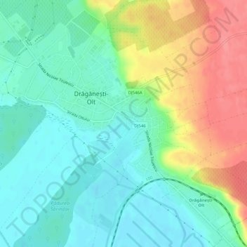
Name: Olt topographic map, elevation, terrain.
Location: Drăgănești-Olt, Olt, 235400, Romania (44.14733 24.50138 44.18202 24.55196)
Average elevation: 93 m
Minimum elevation: 66 m
Maximum elevation: 141 m
Other topographic maps
Click on a map to view its topography, its elevation and its terrain.
Dorolea
Dorolea, Livezile, Bistrița-Năsăud, 427122, Romania
Average elevation: 488 m
Dealul cu Drum
Dealul cu Drum, Greci, Tulcea, 827080, Romania
Average elevation: 168 m