
Sandefjord topographic map
Interactive map
Click on the map to display elevation.
About this map
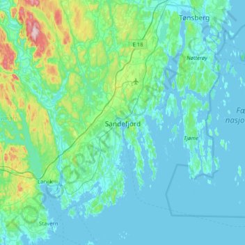
Name: Sandefjord topographic map, elevation, terrain.
Location: Sandefjord, Vestfold og Telemark, 3210, Norway (58.97001 10.06556 59.29001 10.38556)
Average elevation: 43 m
Minimum elevation: -1 m
Maximum elevation: 374 m