
Neon topographic map
Interactive map
Click on the map to display elevation.
About this map
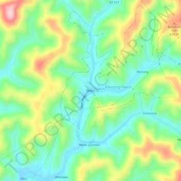
Name: Neon topographic map, elevation, terrain.
Location: Neon, Letcher County, Kentucky, 41840, United States (37.17149 -82.73349 37.21149 -82.69349)
Average elevation: 486 m
Minimum elevation: 386 m
Maximum elevation: 672 m