
Pai Pedro topographic map
Interactive map
Click on the map to display elevation.
About this map
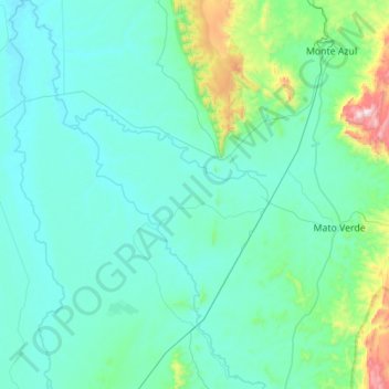
Name: Pai Pedro topographic map, elevation, terrain.
Average elevation: 596 m
Minimum elevation: 457 m
Maximum elevation: 1,756 m
Pai Pedro is a municipality in the northeast of the Brazilian state of Minas Gerais. As of 2007 the population was 5,979 in a total area of 785 km2 (303 sq mi). The elevation is 520 meters (1,710 ft). It became a municipality in 1997. The postal code (CEP) is 39517-000.