
Brookshire topographic map
Interactive map
Click on the map to display elevation.
About this map
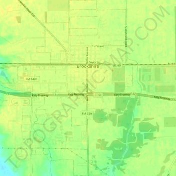
Name: Brookshire topographic map, elevation, terrain.
Location: Brookshire, Waller County, Texas, United States (29.75812 -95.97700 29.80290 -95.93786)
Average elevation: 49 m
Minimum elevation: 34 m
Maximum elevation: 54 m