
归化村 topographic map
Interactive map
Click on the map to display elevation.
About this map
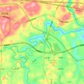
Name: 归化村 topographic map, elevation, terrain.
Location: 归化村, Dafang County, Bijie City, Guizhou, China (27.22540 105.40629 27.26540 105.44629)
Average elevation: 1,405 m
Minimum elevation: 1,306 m
Maximum elevation: 1,510 m