
Blythe topographic map
Interactive map
Click on the map to display elevation.
About this map
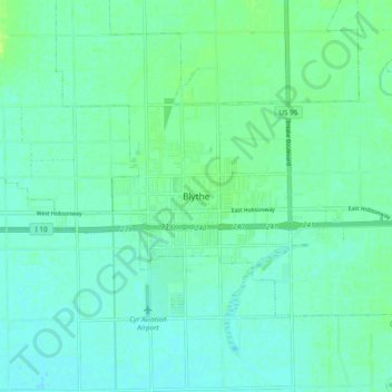
Name: Blythe topographic map, elevation, terrain.
Location: Blythe, Riverside County, California, 92226, United States (33.57348 -114.63375 33.65348 -114.55375)
Average elevation: 82 m
Minimum elevation: 77 m
Maximum elevation: 90 m
Other topographic maps
Click on a map to view its topography, its elevation and its terrain.
Colorado River
United States > California > Riverside County > Blythe
Colorado River, Blythe, Riverside County, California, United States
Average elevation: 102 m