
Virú topographic map
Interactive map
Click on the map to display elevation.
About this map
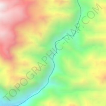
Name: Virú topographic map, elevation, terrain.
Location: Virú, Huaso, Julcán, La Libertad, Perú (-8.27904 -78.58322 -8.25103 -78.56492)
Average elevation: 1,814 m
Minimum elevation: 1,361 m
Maximum elevation: 2,257 m