
Lenham topographic map
Interactive map
Click on the map to display elevation.
About this map
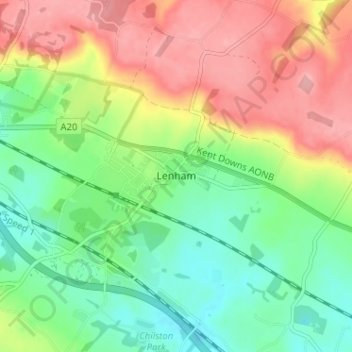
Name: Lenham topographic map, elevation, terrain.
Location: Lenham, Kent, South East, England, ME17 2PJ, United Kingdom (51.21674 0.69820 51.25674 0.73820)
Average elevation: 135 m
Minimum elevation: 86 m
Maximum elevation: 198 m
England trails, hiking, mountain biking, running and outdoor activities