
Sherborne topographic map
Interactive map
Click on the map to display elevation.
About this map
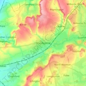
Name: Sherborne topographic map, elevation, terrain.
Average elevation: 91 m
Minimum elevation: 26 m
Maximum elevation: 173 m
Other topographic maps
Click on a map to view its topography, its elevation and its terrain.
Higher Clatcombe
United Kingdom > England > Sherborne > Higher Clatcombe
Higher Clatcombe, Castleton, Sherborne, Dorset, South West England, England, DT9 4RN, United Kingdom
Average elevation: 113 m