
Onstwedde topographic map
Interactive map
Click on the map to display elevation.
About this map
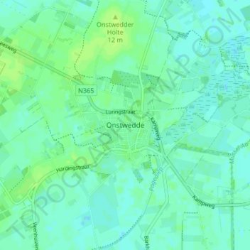
Name: Onstwedde topographic map, elevation, terrain.
Location: Onstwedde, Groningen, Nederland, 9591, Nederland (53.01692 7.01912 53.05692 7.05912)
Average elevation: 4 m
Minimum elevation: -1 m
Maximum elevation: 10 m
Other topographic maps
Click on a map to view its topography, its elevation and its terrain.
Wessinghuizen
Nederland > Groningen > Onstwedde
Wessinghuizen, Onstwedde, Stadskanaal, Groningen, Nederland, 9591 VG, Nederland
Average elevation: 3 m