
Schildwolde topographic map
Interactive map
Click on the map to display elevation.
About this map
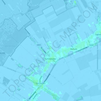
Name: Schildwolde topographic map, elevation, terrain.
Location: Schildwolde, Midden-Groningen, Groningen, Nederland (53.20856 6.75672 53.26684 6.85455)
Average elevation: -1 m
Minimum elevation: -6 m
Maximum elevation: 5 m