
Schijndel topographic map
Interactive map
Click on the map to display elevation.
About this map
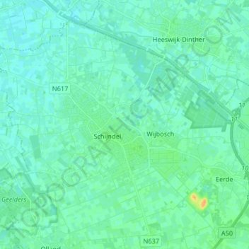
Name: Schijndel topographic map, elevation, terrain.
Location: Schijndel, Meierijstad, North Brabant, Netherlands (51.58696 5.37095 51.65570 5.50211)
Average elevation: 9 m
Minimum elevation: 4 m
Maximum elevation: 29 m
Dutch Topographic map of the municipality of Schijndel, June 2015