
Groot Dochteren topographic map
Interactive map
Click on the map to display elevation.
About this map
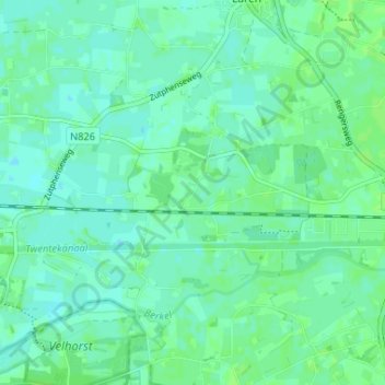
Name: Groot Dochteren topographic map, elevation, terrain.
Location: Groot Dochteren, Gelderland, Nederland, 7245, Nederland (52.15196 6.33730 52.19196 6.37730)
Average elevation: 12 m
Minimum elevation: 8 m
Maximum elevation: 15 m