
Bathkela topographic map
Interactive map
Click on the map to display elevation.
About this map
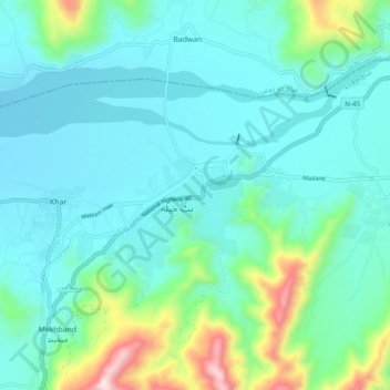
Name: Bathkela topographic map, elevation, terrain.
Location: Bathkela, Mardān District, Khyber Pakhtunkhwa, Pakistan (34.57596 71.93225 34.65596 72.01225)
Average elevation: 765 m
Minimum elevation: 632 m
Maximum elevation: 1,351 m