
Healey Falls topographic map
Interactive map
Click on the map to display elevation.
About this map
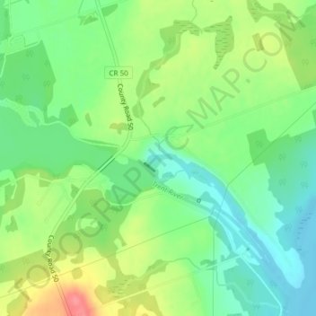
Name: Healey Falls topographic map, elevation, terrain.
Average elevation: 190 m
Minimum elevation: 160 m
Maximum elevation: 236 m
Other topographic maps
Click on a map to view its topography, its elevation and its terrain.
Campbellford
Canada > Ontario > Northumberland County > Trent Hills
Campbellford, Trent Hills, Northumberland County, Central Ontario, Ontario, K0L 1L0, Canada
Average elevation: 174 m