
Tanar topographic map
Interactive map
Click on the map to display elevation.
About this map
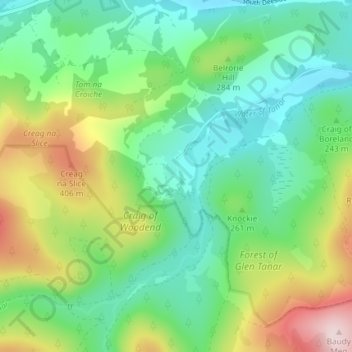
Name: Tanar topographic map, elevation, terrain.
Location: Tanar, Aberdeenshire, Scotland, AB34 5EU, United Kingdom (57.02979 -2.88738 57.06979 -2.84738)
Average elevation: 252 m
Minimum elevation: 144 m
Maximum elevation: 483 m