
Stanwick topographic map
Interactive map
Click on the map to display elevation.
About this map
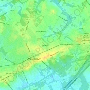
Name: Stanwick topographic map, elevation, terrain.
Location: Stanwick, Burlington County, New Jersey, 08057, USA (39.95317 -74.95656 39.99317 -74.91656)
Average elevation: 19 m
Minimum elevation: 7 m
Maximum elevation: 34 m