
Horsham St. Faith and Newton St. Faith topographic map
Interactive map
Click on the map to display elevation.
About this map
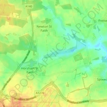
Name: Horsham St. Faith and Newton St. Faith topographic map, elevation, terrain.
Average elevation: 21 m
Minimum elevation: 4 m
Maximum elevation: 40 m
Other topographic maps
Click on a map to view its topography, its elevation and its terrain.
Strumpshaw
Vereinigtes Königreich > England > Broadland
Strumpshaw, Broadland, Norfolk, East of England, England, Vereinigtes Königreich
Average elevation: 12 m