
Oberengadin topographic map
Interactive map
Click on the map to display elevation.
About this map
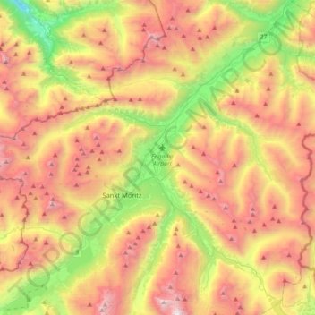
Name: Oberengadin topographic map, elevation, terrain.
Average elevation: 2,378 m
Minimum elevation: 1,154 m
Maximum elevation: 3,667 m
Other topographic maps
Click on a map to view its topography, its elevation and its terrain.
Roseggletscher
Schweiz > Graubünden > Samedan
Roseggletscher, Samedan, Maloja, Graubünden, 7503, Schweiz
Average elevation: 2,653 m