
Katua topographic map
Interactive map
Click on the map to display elevation.
About this map
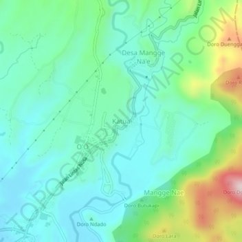
Name: Katua topographic map, elevation, terrain.
Location: Katua, Kabupaten Bima, West Nusa Tenggara, 84211, Indonesia (-8.53010 118.46698 -8.49010 118.50698)
Average elevation: 142 m
Minimum elevation: 31 m
Maximum elevation: 475 m