
Luray topographic map
Interactive map
Click on the map to display elevation.
About this map
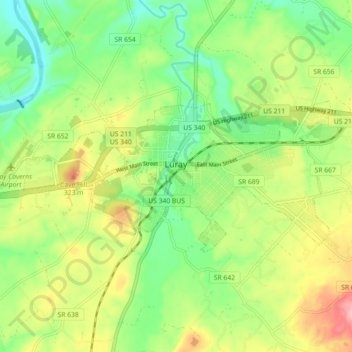
Name: Luray topographic map, elevation, terrain.
Location: Luray, Page County, Virginia, 22835, United States (38.64795 -78.50739 38.67804 -78.41778)
Average elevation: 267 m
Minimum elevation: 210 m
Maximum elevation: 350 m
Other topographic maps
Click on a map to view its topography, its elevation and its terrain.
Ida
United States > Virginia > Page County
Ida, Page County, Virginia, United States
Average elevation: 462 m