
Chahar Dara topographic map
Interactive map
Click on the map to display elevation.
About this map
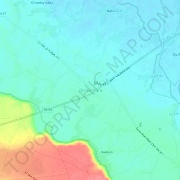
Name: Chahar Dara topographic map, elevation, terrain.
Location: Chahar Dara, Char Dara, Kunduz Province, Afghanistan (36.67097 68.77651 36.71097 68.81651)
Average elevation: 396 m
Minimum elevation: 379 m
Maximum elevation: 452 m